

-
Welcome to Tundras.com!
You are currently viewing as a guest! To get full-access, you need to register for a FREE account.
As a registered member, you’ll be able to:- Participate in all Tundra discussion topics
- Transfer over your build thread from a different forum to this one
- Communicate privately with other Tundra owners from around the world
- Post your own photos in our Members Gallery
- Access all special features of the site
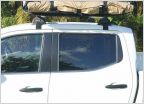 Kickass Shower Tent
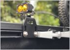 Tundra Chase lights? PODs or light bar
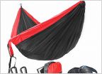 Anyone need a hammock? Deal ends in 3hrs
 Best overall flashlight?
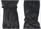 Need winter Glove help
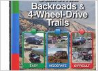 Big Bear, CA Truck Trails?
Can you have too many maps?
Discussion in 'Outdoors' started by newemi, Nov 12, 2021.


